Tank is the capital city of Tank District, Khyber Pakhtunkhwa, Pakistan. The city is located northwest of Dera Ismail Khan and southeast of Jandola, Tank Subdivision. Lakki Marwat and Bannu lie to the northeast, while South Waziristan lies to the west. The city is located northwest of Dera Ismail Khan and southeast of Jandola, Tank Subdivision (formerly known as “Frontier Region Tank”). Tank (Pashto: ټانک / ټاک; Urdu: ٹانک; Saraiki: ٹاک) is the capital city of Tank District, Khyber Pakhtunkhwa, Pakistan. The city is located northwest of Dera Ismail Khan and southeast of Jandola, Tank Subdivision (formerly known as “Frontier Region Tank”). Lakki Marwat and Bannu lie to the northeast, while South Waziristan lies to the west. Pashto and Saraiki (locally called Hindkou) are the two languages spoken in Tank. Most people are conversant in the Pashto language as most of the population consists of Pakhtun or Pashtun tribes. English is also understood by the educated. The city was previously inside a fort. Here Sir Henry Durand, lieutenant-governor of Punjab, was killed in 1870 when passing on an elephant under a gateway.
Places to Visit
Tank is situated on the foot of Takht-i-Sulaiman Range, at a distance of 267 km from Peshawar on the Tank-Indus Highway Link Road taking right from the Indus Highway N-55.Tank has boundaries with Lakki Marwat, Dera Ismail Khan, and South Waziristan districts. Tank is connected with other cities of Pakistan by road as well as by railway track. Tank-Indus Highway Link Road is used to access all of the locations in the city.
Gomal River, Tank Zam River
The Gomal River, Tank Zam River and the Narsas Algad stream are the main sources of water in the district. Most of the people in the Tank district involve in farming and agriculture. Due to the Sulaiman Mountain range and its high peaks, the area is suitable for falcons and eagle growth. Selling of these birds also comes there.
Shrine of Pir Sabir Shah Baba
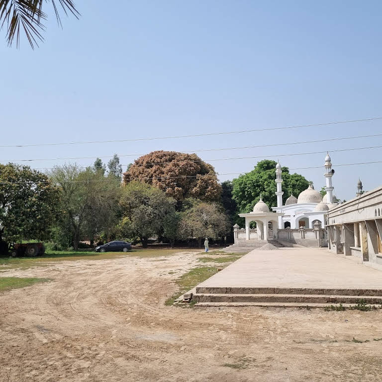
The Shrine of Pir Sabir Shah Baba is a famous visiting place in the city, where a number of tourists and devotees from adjoining areas visit the shrine. The annual celebrations of the shrine is organized annually from June 2 to June 5. Mama Pir Ziarat is another popular shrine near Umar Adda. A number of devotees from different cities visit the shrine.
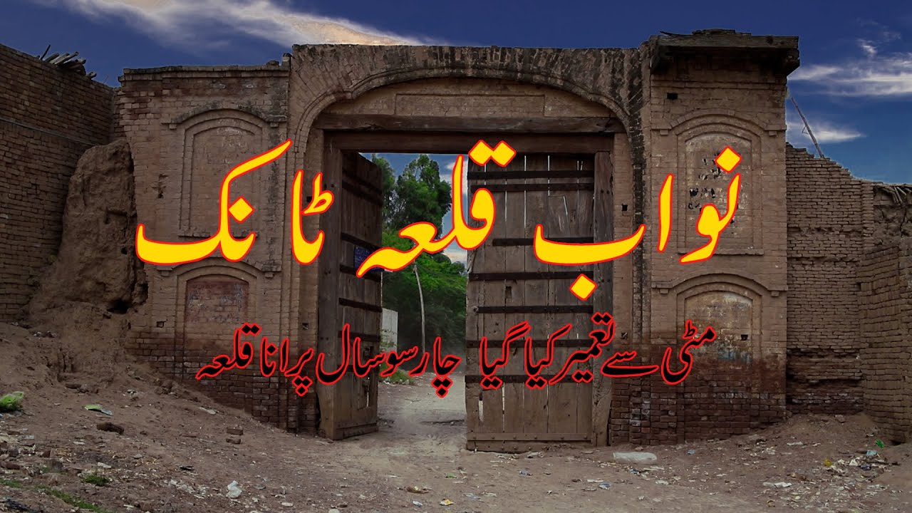
Nawab Qilla
The main landmark is the Nawab Qilla, which is a mud fort on an area of more than 200 kanals. Fort is bounded by high and wide walls with burgs on each corner of the fort. These burgs were used to security the fort. Wide walls were used to move easily between the burgs. Five to six persons can easily move parallel on the walls. There are many trees with long trunks inside the fort along the walls. There are three gates for entry into the fort. There was the residence of the Nawab Sahib in the center of the fort.
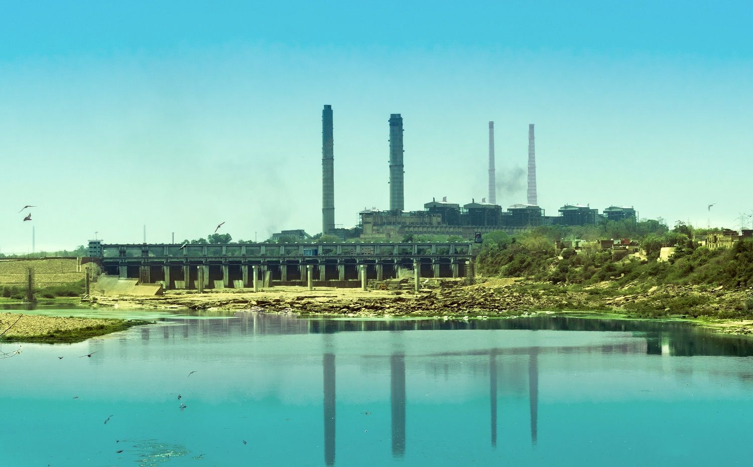
Kot Murtaza Barrage
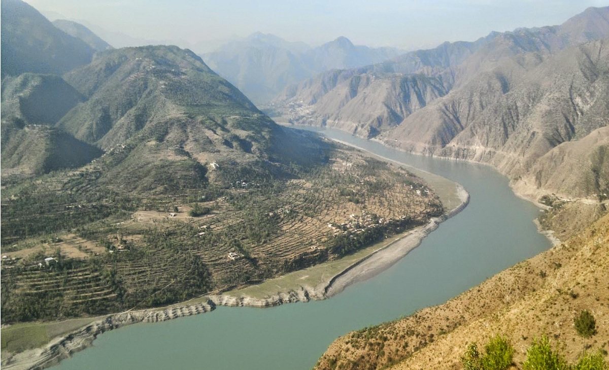
Kot Murtaza Barrage is located on the Gomal River to irrigate the surrounding areas for cultivation. The Gomal River originates in the Paktika Province of Afghanistan. It has a total length of 400 km and finally confluences with the Zhob River near Khajuri Kach. It enters Pakistan in the Waziristan district. It enters the Gomal Valley in the Tank district and its water is distributed to other areas in the Tank district through Zam System which is an irrigation system used to transport water to different areas in its natural path.
Kot Allah Dad Village
Kot Allah Dad is a small village, where an archaeological site is a place to visit. It can be accessed via the Tank – D. I. Khan Road and turns on the Kot Allah Dad Road. The weather of the Tank district is hot in the summer season, whereas it becomes cold in the winter season.